Ancient Nevada, Part 3: Landscapes
May – June 2017
 Third of six-part series explores the forming of Nevada’s diverse landscapes.
BY ERIC CACHINERO
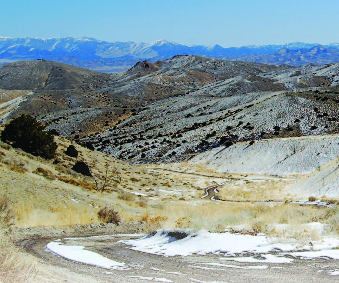
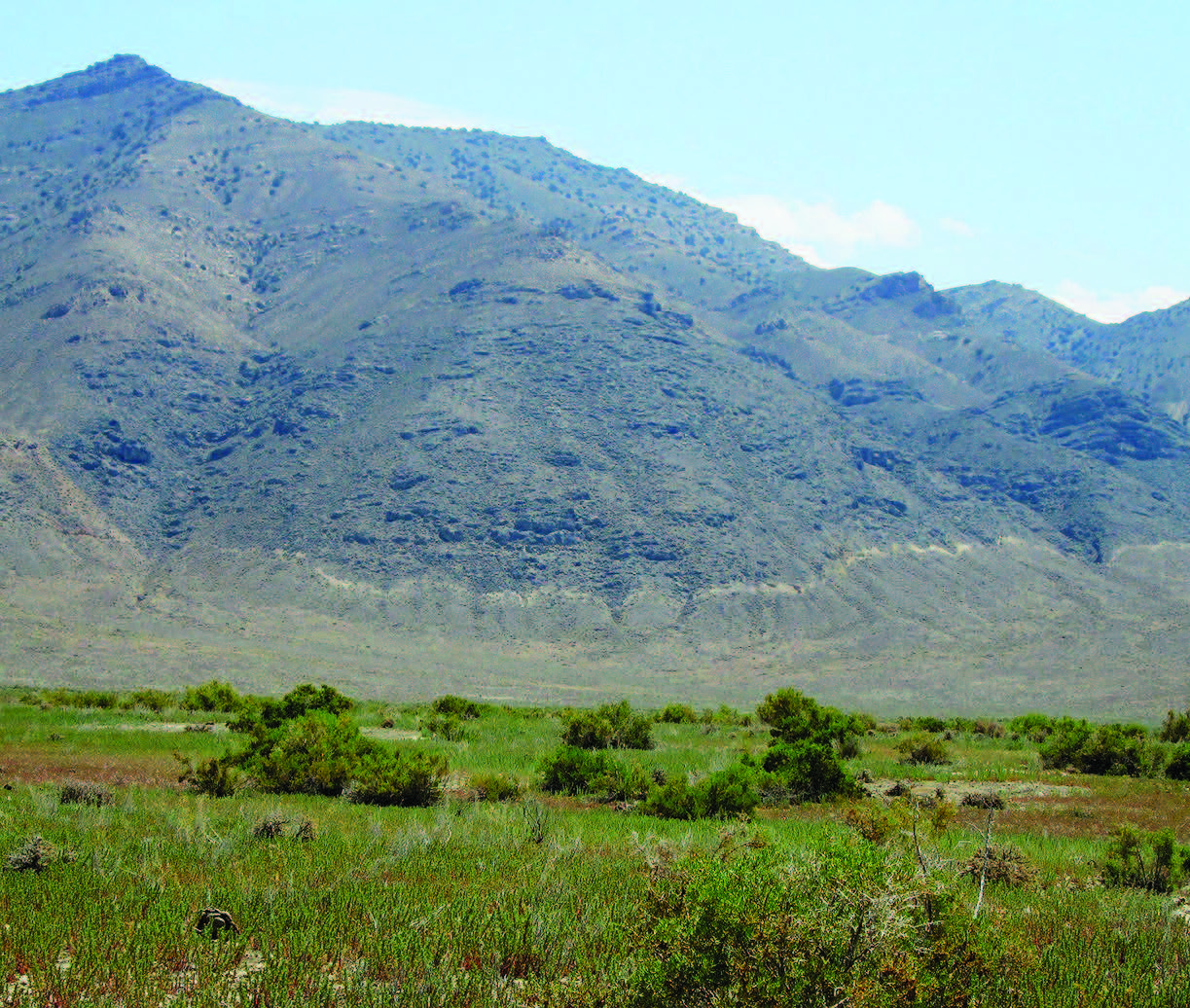
Although surely a feat for the ambitious, it is possible to walk the rim of a volcanic crater at Lunar Crater National Natural Landmark, hike the nearly 12,000-foot Arc Dome, and soak in a geothermal-heated pool in the massive Big Smokey Valley all in one day. The Silver State’s landscapes are tremendously diverse. High desert, low desert, snowy mountaintops, calderas, dry lakebeds, forests, flood plains, lakes, rivers, and miles of endless sagebrush give the state its seasoned scenery.
Nevada owns the title of most mountainous state in the lower 48. This fact gives clues to just how unpredictable, violent, and ever changing the formation of our landscape has been during the last tens of millions of years.
UNFATHOMABLE ERUPTIONS
About 45 million years ago, thanks to shifting tectonic plates, the area that would become Nevada was rife with volcanic activity. As authors Frank DeCourten and Norma Biggar describe in their book, “Roadside Geology of Nevada,” “The scale and violence of the volcanic blasts that buried the ancient landscape under thousands of feet of ash are hard to imagine, primarily because no volcanic eruptions ever witnessed by humans come close to rivaling these prehistoric paroxysms.”
According to the authors, The Great Basin experienced some of the “fiercest volcanic rampages” in the 4.6-billion-year history of the Earth. They add that “between 18 million and 36 million years ago, an estimated 17,000 cubic miles of lava was ejected during violent eruptions in Nevada.” As for the amount of ash dispersed by some of these eruptions, geologists put the number somewhere in the ballpark of 200 cubic miles of ash each. For reference, in 1980, Mt. St. Helens spewed only .7 cubic mile of ash and claimed 57 casualties.
The features left behind by these massive volcanic eruptions are remarkable, especially calderas. Calderas are depressions in the landscape created after a volcano has erupted and the Earth’s crust collapses downward into an emptied magma chamber. Evidence of massive calderas exists in many places in southern Nevada, particularly in the mountain ranges around Tonopah. Some of the calderas were 35 miles in diameter when they were formed.
And so it went, until about 7 million years ago, when the massive eruptions began tapering off in Nevada.
OUR FAULT
The Basin and Range Province is a vast topographic region that is roughly characterized by narrow mountain ranges and flat basins and covers much of the southwest U.S., and about 30-40 million years ago, it began stretching. Over the span of millions of years, movement of tectonic plates and faulting squished and stretched the Earth’s crust in an east-west direction, creating many of the mountain ranges and valleys characteristic of Nevada. The plates stretched our state so much so, in fact, that the landscape has nearly doubled in length. This means that if you were to travel back in time to 30-40 million years, it would take you roughly half the time to drive from Reno to West Wendover as it does now.
Nevada isn’t done stretching, either. Using GPS to measure crust movements, scientists have concluded that the eastern part of the state is being stretched westward at about 1-2 millimeters per year, while in western Nevada the rate is closer to 12 millimeters per year. Though the amount the state stretches per year may seem infinitesimal, it’s easy to see that when multiplied over tens of millions of years how our towering mountain ranges and sweeping valleys had time to grow.
THE EARTH SHAKES
As one of the most seismically active areas on the continent, earthquakes etched Nevada’s landscapes, and continue to develop the state to this day. The energy released when tectonic plates grind against one another is colossal, and is to thank for the state’s highly faulted crust. Frank and Norma add, “In several places in Nevada, historic earthquakes have produced ground ruptures and exposed fault surfaces, known as scarps, that are clearly visible.”

The Fairview Peak earthquake faults near Fallon are a perfect example of this. In 1954, the area experienced six earthquakes that exposed more than 50 miles of faulting. Mountains, relative to the nearby valleys, were lifted an average of six feet due to faulting, and rose more than 20 feet in some areas.
ANCIENT AND EVER-CHANGING
Today, magma exists in Nevada less than a mile below the surface in some places. The molten rock is a reminder that maybe a couple million years really isn’t that long when thinking about the time and constant violent forces that shaped our landscape. We like to think that these landscapes are relatively calm now, but earthquakes and a slowly stretching state show us that Nevada is constantly changing.