Walk It Out
Winter 2023
Snowshoeing delivers fresh air and frosty fun.
BY BRIGETTE PUGH
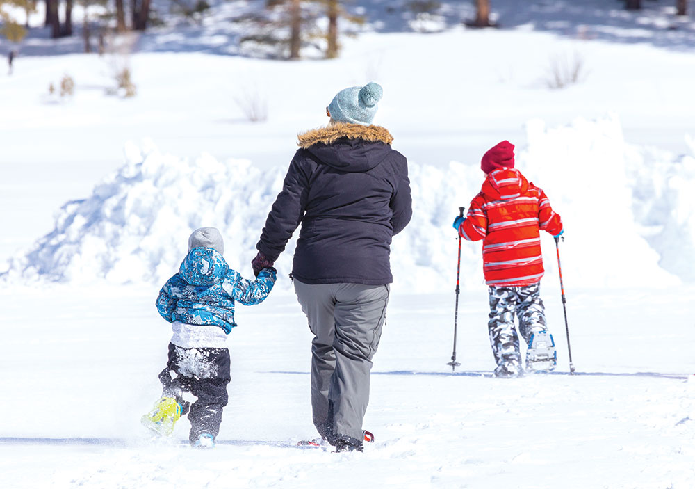
I need the outdoors like I need to hydrate. Hiking, mountain biking, and paddleboarding are not only great forms of exercise, but they also provide a mental and physical escape from offices, commutes, and household chores. When I moved back west after 15 years in warmer climes, I knew I needed to figure out how to get my outdoor fix during winter. I also knew skiing wasn’t the answer.
LOOKING FOR A NEW PATH
I tried to love skiing. I grew up in the mountains and signed up for the cheap ski lessons through my junior high, but I couldn’t get into it. I tried it again in my early ‘20s, thinking maybe my personality had magically changed in the ensuing years, but it’s just not my sport. Still, I couldn’t spend an entire season indoors.
Enter my first pair of snowshoes, a birthday gift I received during my first winter in Nevada. Now, 10 years—and hundreds of stomps—later, I am still using the same gear. Every time I head out, it costs me exactly zero dollars (unless you count gas and the rare occasion I pay for a cross-country course). The zero dollars is not my favorite thing about snowshoeing, but it’s a pretty awesome perk. Another bonus? Snowshoeing has almost no learning curve. If you can walk, you can snowshoe, and the cardio workout is no joke.

 FINDING YOUR WAY
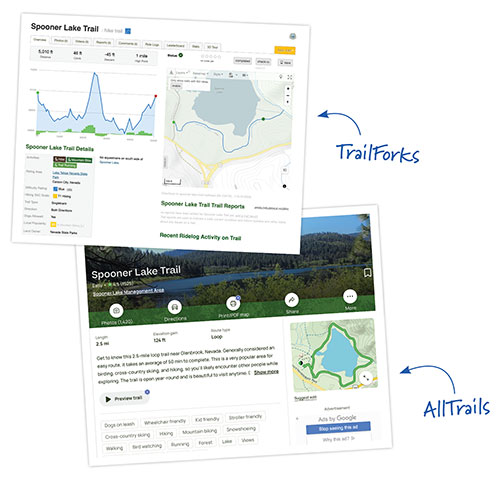
The internet or mobile apps like TrailForks and AllTrails make finding trails a breeze. My favorite trails are those close to home in Carson City. If we get snow below 5,000 feet, there’s no need to drive up the mountain because plenty of the area’s biking trails make for great snowshoe adventures. When the snow doesn’t quite make it to the valley, it’s time to drive up the mountain to find some powder.
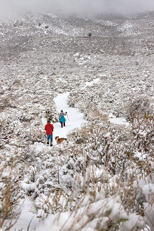
As with any outdoor activity, play smart. Look at weather warnings, avoid areas with avalanche danger, let someone know your destination and when you expect to return, and choose trails with which you are familiar or are well tracked. Remember that even trails you know well can look very different under multiple feet of snow. If it is snowing when you head out, you may not be able to follow your tracks back, so familiarity with the terrain is imperative.
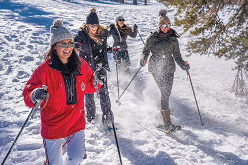
Snowshoeing is a cheap and fun way to enjoy this great big open space. Go get some fresh air!
MAKE TRACKS

Carson City and Carson Valley
- V&T Trail (easiest)—This Carson City route follows the alignment of the historic Virginia & Truckee Railroad. Park off Combs Canyon Road on the north end of Murphy Drive. It’s a simple out-and-back trail, has a mellow grade of about around 2 percent, and is mostly non-technical.
- Lower Jacks Valley Loop (easy)—There are a couple of places to access this trail system, but I like to park at James Lee Park Trailhead. You’ll find trail access and a map at the back of the parking lot. The terrain covers rolling hills with no sustained climbing and beautiful Carson Valley vistas.
- Ash Canyon (moderate)—Access is on the west side of Carson City, at Foothill Drive off Winnie Lane. There are many different routes; trail apps will provide the best maps. Lower Ash Canyon trails offer out-and-back options and loops with an average grade of 6 percent.
- Timberline Drive (challenging)—To access this trail, follow Timberline Drive until it dead ends. This is a steep trail and can be done as an out and back. The full loop is 3.8 miles, takes about 2.5 hours (add time if you are in fresh snow) and has an elevation gain of about 1,200 feet.
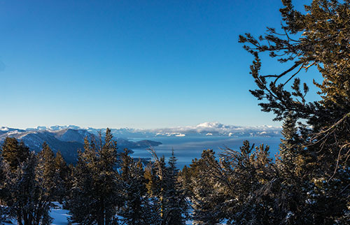
Lake Tahoe area
- Spooner Lake (easy)—This trail starts at Spooner Lake State Park. The trail’s popularity often makes it easy to navigate as others will have likely stomped the trail ahead of you. This is a fairly flat, 2.1-mile loop around Spooner Lake.
-
Chickadee Ridge ©Martin Gollery Chickadee Ridge (easy)—This trailhead is located on State Route 431 (Mt. Rose Highway) near Mt. Rose Summit. It’s a heavily trafficked, 3.5-mile loop with easy-to-moderate terrain. The trail’s namesakes are incredibly friendly, so bring your camera.
- Ophir Creek Loop (easy to moderate)—To access this 3.2-mile loop with minimal
elevation gain, park at the Tahoe Meadows parking area (near Chickadee Ridge). This section is the upper part of a longer trail that starts in Washoe Valley. - Tahoe Rim Trail (moderate to challenging)—The TRT circumnavigates the lake, and you can start at either trailhead on State Route 50 at Spooner Summit. The trail north of the summit is quite popular for snowshoeing, so you will likely find lots of stomped snow unless it’s right after a storm. On the way out, you are mostly climbing, but the steep sections are not long. If you want steeper, more sustained climbing, take the trail from the south parking lot.
SNOWSHOEING TIPS
- Protect your skin: Don’t forget sunscreen and lip protection. The sun reflects off the snow, plus the higher altitude makes the UV rays more extreme.
- Climb smart: Depending on elevation steepness, it may be easier to sidestep up a slope. Some snowshoes offer heel lifts to help climb steep hills. While poles are not required, they do help on hills and can help you get up if you fall.
- Fabric Matters: Avoid cotton which, when wet, can quickly lower your body temperature and lead to hypothermia. Opt for synthetic materials for a base layer. These materials dry quickly and wick moisture away from skin. While wool does not wick moisture, it does help insulate and is a great outer layer. These options go for socks, as well.
- Turn around: If you’re not on an established trail or using a tracking app, look back from time to time to familiarize yourself with your surroundings so you can better remember the way out. Falling snow, wind, or heavy melting can obscure tracks.
- Watch the weather: Always be sure to check weather reports—including avalanche forecasts—to avoid being caught in an emergency situation.
- Pace yourself: If visiting Nevada from a lower altitude, give your body a day or two to adjust before heading into the mountains: You may not be able to exert yourself as you normally do, so take it slow. Watch out for signs of altitude sickness, which include dizziness, headache, fatigue, confusion, lack of coordination, and shortness of breath.
- Stay hydrated: Your body requires more fluid at higher elevations, so you may find you need to drink more than usual. Do not rely on eating snow or ice as they can cool your body temperature. Water bladder bags freeze in colder temps, so bottled water might be a better option.
- Safety first: Always make sure someone knows where you’re going and when you plan to return.