On The Trail of History
Winter 2024-2025
Nevada’s historical markers preserve the past.
BY DAVID RODRIGUEZ
 Nevada is a state made up of stories. For hundreds—and even thousands—of years, American Indians, emigrants, miners, and dreamers traversed Nevada’s ranges and deserts playing to the horizon and chasing dreams. In the process, they have left history that stands the test of time in the form of historical markers.
The best way to discover these fascinating historical sites—around 270 total—is by incorporating them into your next road trip. They are easy to include on any journey and appeal to history enthusiasts and adventure seekers alike. They are also an excellent opportunity to explore Nevada’s diverse landscape. As you travel, you’ll be treated to vast skies, endless fields of purple-tinged sagebrush, and vibrant sunsets painted with violet and orange hues
We’ve prepared three curated trips that showcase some of Nevada’s most remarkable areas while guiding you through the state’s captivating history and breathtaking scenery.
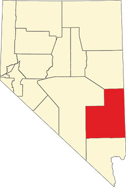
 White Pine County
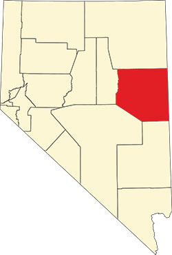
This eastern Nevada county offers intrepid visitors incredibly diverse landscapes, including stunning mountains and high desert landscapes. From Ely—its largest town—one can quickly discover 24 nearby markers.
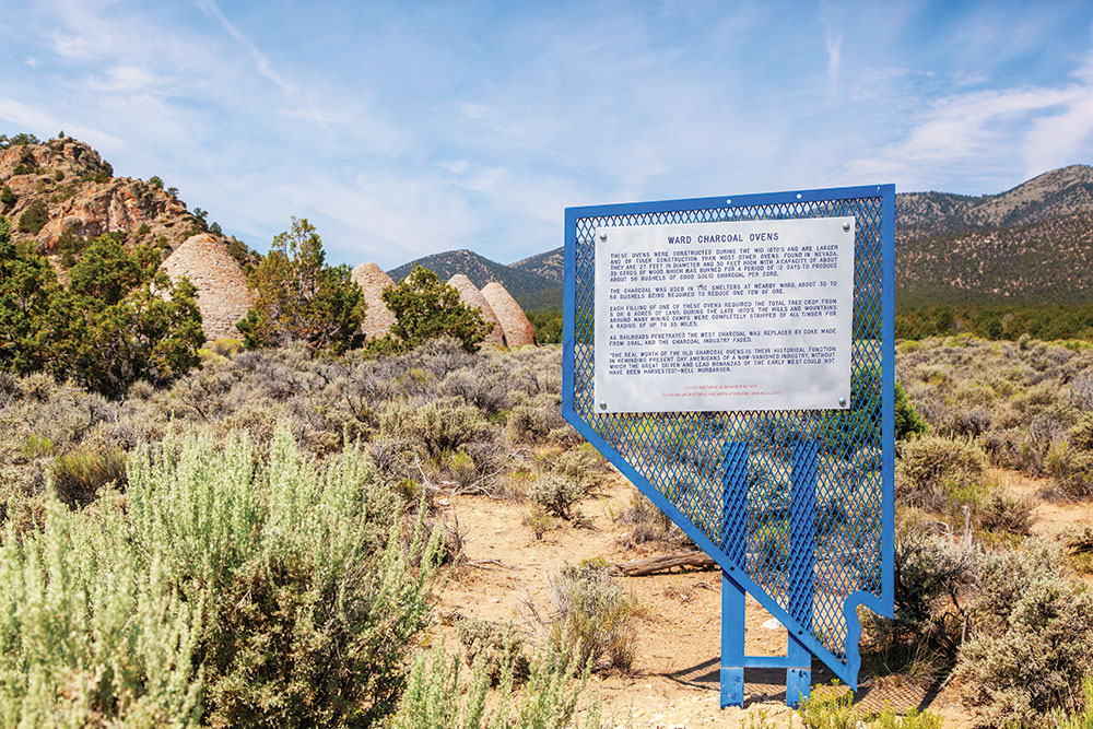
About 12 miles south of Ely, Marker No. 184 highlights the history of the ghost town of Ward and its famous charcoal ovens (see the image at the top of the page). Constructed in 1870, these six beehive structures were vital to the mining industry and produced coal for the ore smelters. As the mines faded away, the ovens eventually became home to range animals, weary travelers, and if rumors are true, even a few stagecoach bandits.
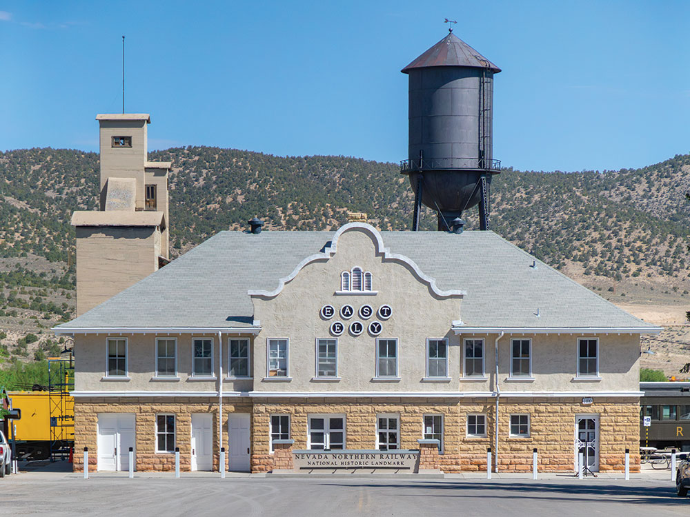
Located in town, Marker No. 100 denotes the Nevada Northern Railway. In its heyday, this railyard had more than 150 miles of track and transported ore, smelted metals, and—until 1941—even local schoolchildren into Ely from surrounding towns. Today, the Nevada Northern Railway offers vintage steam rides on sections of the historic line.
Ely has been a hub for mining for more than 150 years. Located just 5 miles west of town on U.S. Highway 50, Marker No. 9 introduces you to the area’s famous open-pit mines, which have produced more than a billion dollars in copper, silver, and gold over the years, including Liberty Pit—once the largest man-made hole on the planet.
 Lincoln County
With about 10,000 square miles—but only around 5,000 residents—Lincoln County (named in 1866 for President Lincoln) is a remote yet beautiful part of the state offering stunning vistas and wide-open spaces. From the county seat of Pioche, one has easy access to 25 markers.
On Pioche’s main street, Marker No. 5 details the town’s rich silver mining history, which began in 1864. Remnants of the mines surround you, including an aerial tramway which transported ore from Treasure Hill to a nearby mill.
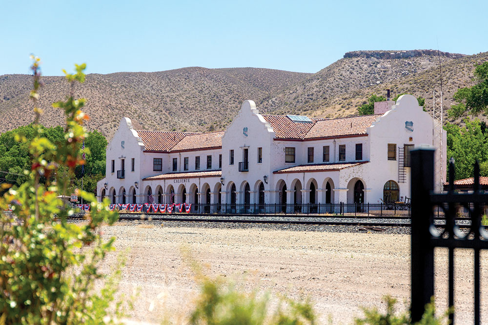
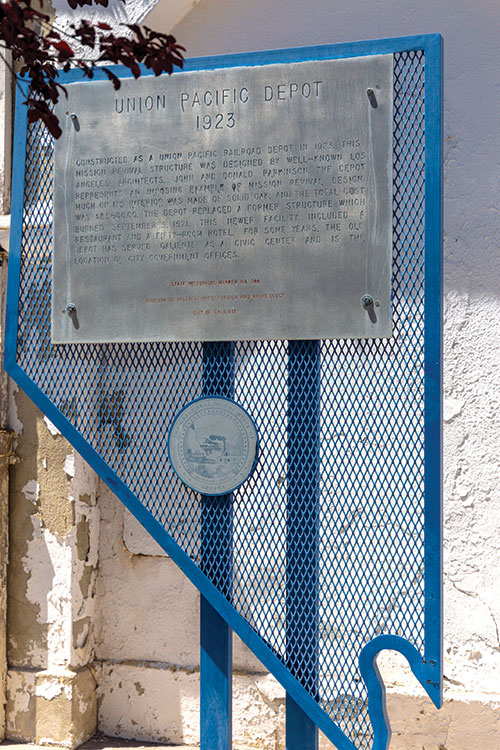
About 20 miles south in Caliente, Marker No. 55 describes the area’s rapid development in 1905 as a station town along the newly completed Los Angeles and Salt Lake Railroad. The town’s iconic Mission-revival depot—built in 1923—remains a magnificent structure—you’ll find its history on Marker No. 249.
Taking U.S. Highway 93 back south, you’ll find marker No. 205 at Crystal Springs. Largely used for irrigation today, these turquoise blue pools were once one of the few life-giving water sources on the Old Mormon Trail.
 Churchill County
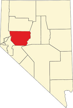
Just 60 miles east of Reno awaits Fallon and the rich agricultural lands of Churchill County. Well known for the Naval Air Station and the famous “Top Gun” training school, the area is steeped in Nevada history.
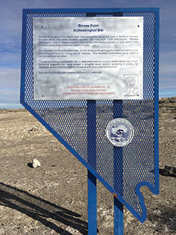
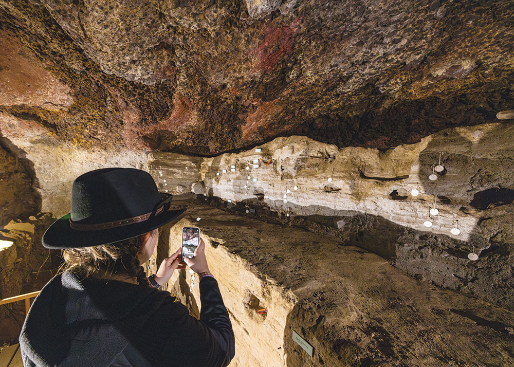
Head about 10 miles southeast to find Grimes Point/Hidden Cave and Marker No. 27. This historic Native American petroglyph site is more than 8,000 years old and is one of the most accessible sites of its kind in North America. Visitors will find hundreds of engravings carved into about 150 basalt boulders along the quarter-mile trail.
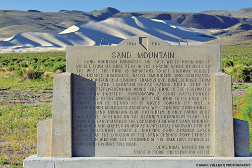
Just a few miles farther east lie Sand Mountain and Marker No. 10. This massive sand dune stands about 600 feet tall and stretches for 2 miles. It’s called a singing dune because it produces unique sounds when wind blows across its high ridges. While there, try to find the remnants of the old Sand Springs Pony Express station.
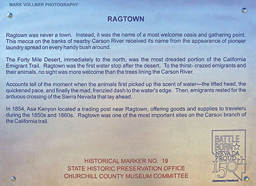
Marker No. 19—labeled Ragtown—is 5 miles west of Fallon on Highway 50. This site marks a crucial water stop along the Emigrant Trail and was the first location travelers found water after crossing the challenging 40-Mile Desert—a veritable desert oasis. The Humboldt River still flows through this site, making for a great place to cool off after a long day of exploration.


